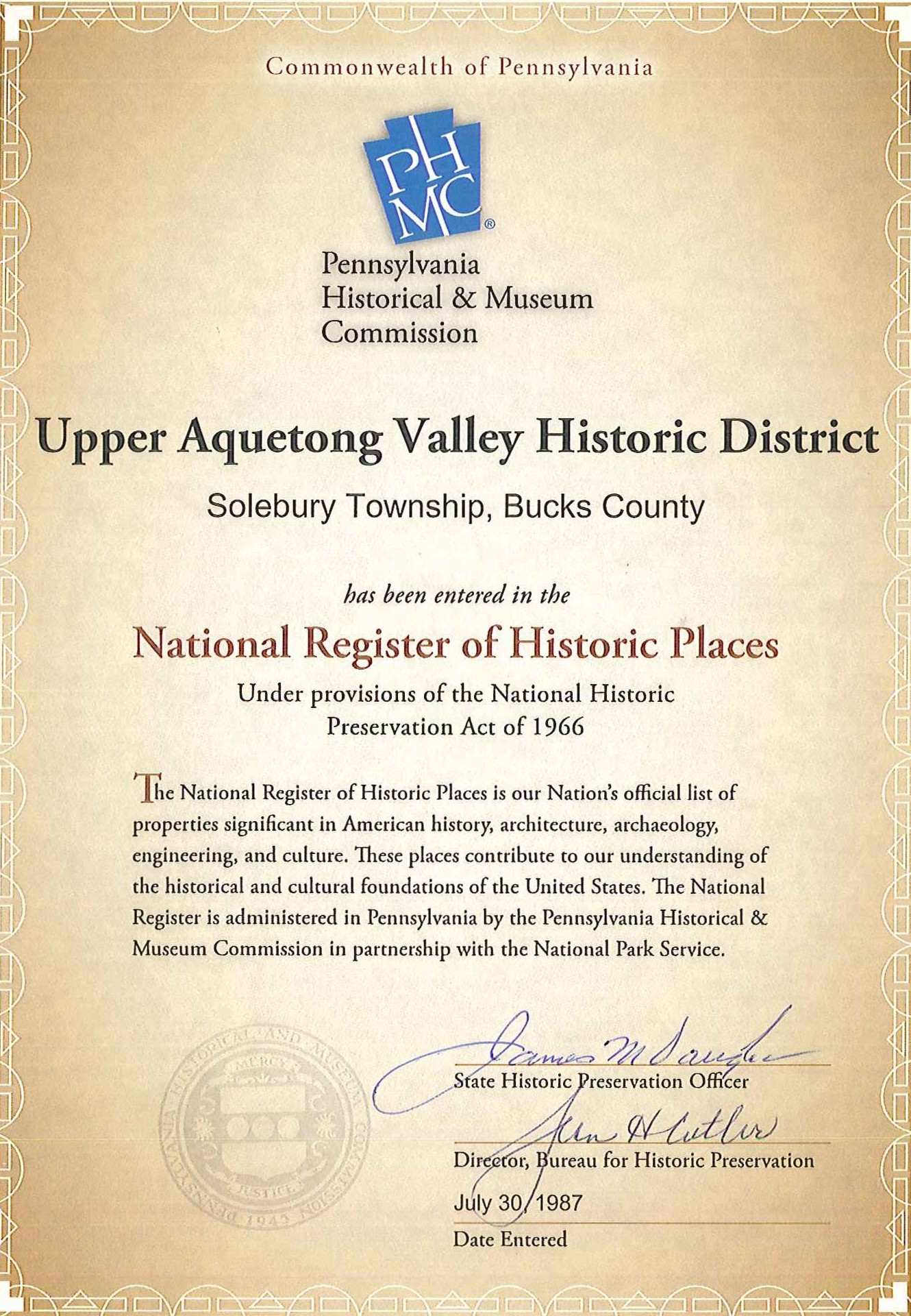
 The Upper Aquetong Valley Historic District runs along Meetinghouse Road between Aquetong and Sugan roads along the upper branch of the Aquetong Creek. The valley was recognized as a National Historic District in 1987 through the efforts of members of the Aquetong Valley Association, with Jane Hess as president.
Like the Cuttalossa District, the Upper Aquetong Valley Historic District is not a village, but rather a valley settled in the 18th and 19th centuries by Quakers from England. When settlement began in the mid 18th century there were approximately 12 tracts owned by now familiar family names such as Eastburn and Paxson. Agriculture was the predominant industry with the growing of grains and keeping of small animal herds. Little has changed along this road over the centuries. Most of the land is still open farm fields and virtually all of the 18th and 19th century homes are still standing, as are many of the barns, corncribs, and springhouses.
The majority of the residences are 2-1/2 story rectangular fieldstone buildings of moderate size. The buildings are excellent examples of early fieldstone residences, loosely based on Georgian and Federal styles. They reflect the conservation Quaker style in their lack of ornamentation and stylistic pretensions.
Another important industry once thrived along this valley. A limestone belt stretches from Lahaska to Centre Bridge, and hence the limestone industry became an important adjunct to the agricultural activities of the valley. Quarries and kilns dotted the entire area. During the 19th century, Meetinghouse Road was called Limekiln Road due to the large number limekilns scattered along its length. Lime was first used for soil conditioning. The presence of limestone and the Aquetong Creek spurred another industry in the valley: tanning. The tanning industry required water and lime with which to soak hides in order to remove hair. Hides were soaked in vats called “limes”. The tannery was located near the western boundary of the district (near Aquetong Road). The tanning vats are slight round depressions along the stream bed approximately five feet in diameter. The vats have been filled in over time. In an advertisement of this property in 1817 the tanyard was described as having “32 vats and a pool, the vats are supplied with water by a pump, the pool by a stream of running water.”
It is interesting to observe that two of Solebury’s most pristine areas–Meetinghouse Road and Cuttalossa Road–were developed in Colonial days as industrial valleys.
By the end of the 18th century the number of Quaker settlers had grown sufficiently to warrant the construction of their own Meetinghouse. The Solebury Meetinghouse was built in 1806, patterned after the nearby Buckingham Meetinghouse, from which most of its members were drawn.
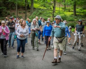
Today the Upper Aquetong Valley Historic District is little changed from the 18th century. Through the initiative of the Aquetong Valley Association and the landowners, virtually all the land in the valley is protected from further development. Most of the original fieldstone homes and outbuildings still stand proudly, though modified for more modern living conditions. Remnants of the limestone industry are barely visible, covered long ago with dense foliage. The rich agricultural soil continues to bear crops. A walk or leisurely drive along this bucolic road transforms one back some 250 years, to the very beginning of the settlement of Solebury Township.
View an interactive map of the locations of nationally recognized properties and districts in Solebury Township.
Read more about the Upper Aquetong Valley on the Solebury Township site.


